As Above So Below: Bird Surveys Document Life Above the Ocean

By Science Communication Fellow Devon Avrigian Jones
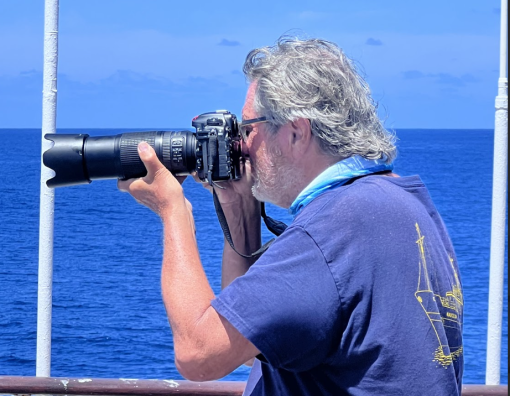
“Masked booby, nine o’clock!” Karen belts out excitedly as she points to a plummeting bird dive-bombing below the ocean's surface. Chris jumps to his feet with camera in hand. As the shutter of the camera creates a click, click, click sound, a small glimpse into the feeding habit of a seabird is captured to share with the world.
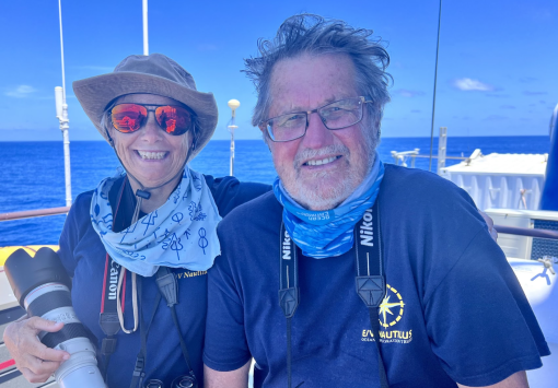
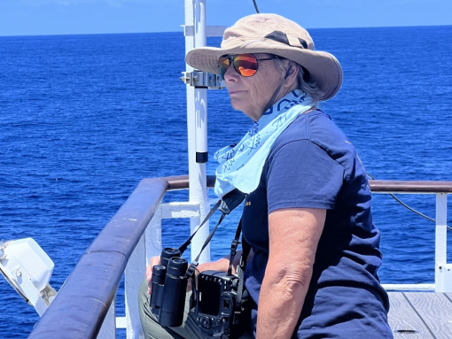
Karen Baird and her husband Chris Gaskin are bird surveyors aboard E/V Nautilus during the NA166 expedition. For 26 days, they spent nearly every daylight hour sitting atop the observation deck scouting for birds. Some birds are in migration, and others are on their way, solo or in tandem, on a voyage to their winter nesting grounds.
When asked what led Chris and Karen out on an expedition with OET to study sea birds, Karen referenced once being involved in rediscovering what was considered an extinct species of bird found in New Zealand, the Storm Petrol. This catalyzed Karen and Chris to bring their love and passion for birds to the forefront of research. “It was the process of the mystery itself, learning about the species,” Karen explains, that created a passion for wanting to know more.
As the threatened and migratory species adviser for the Secretariat of the Pacific Regional Environment Programme (SPREP), Karen provides environmental support for threatened and migratory species with a focus on cetaceans, sharks, rays, turtles, and dugongs.
Chris works with the Northern New Zealand Seabird Trust, focusing on seabird conservation in New Zealand and the greater Pacific region.
Together, this duo works to document species seen throughout various locations worldwide. Ocean Exploration Trust was proud to partner with SPREP to expand the range of science and impact of data collected on this expedition across the Western Pacific. Here, aboard Nautilus, Karen and Chris collect data on birds leaving the Arctic’s Bering Sea and heading towards warmer southern climates for breeding and shelter during North America’s winter months.
The Importance of Documenting Seabird Populations and Behaviors
Along Nautilus’ 4,400 nautical mile journey from American Samoa to Palau during the NA166 expedition, Chris and Karen are using this opportunity to document not just the migration of seabirds but to gain insight into various species of birds that travel over pelagic waters. The opportunity to work far offshore and observe diversity and day-to-day life for seabirds is unique! The benefit of observing birds in this environment is to better understand how they behave and interact with other organisms and underscore the importance of their relationship within the ocean food web.
First, they establish a baseline understanding of these migratory patterns so that future observers can monitor changes in species and population sizes over time. Together, this data makes it possible to determine problems birds face while at sea and on breeding grounds ashore. Common problems migratory seabirds face arise from predation, overfishing of their food supply, being caught as bycatch, and threats to their habitats, such as sea level rise, climate change, and human development.
During the expedition, Chris and Karen have also documented sightings of uncommon birds that are not generally seen at sea, such as the golden plover. Studying these birds at sea gleans valuable information that helps understand their life sequence in greater detail.

A Day in the Life of a Bird Surveyor
Once a bird has been spotted, Karen and Chris photograph it, mark its location through GPS coordinates, indicate what the bird was doing, and indicate whether the bird was solo or with a group. Chris then inputs that information into an app he has created to collect the data for each sighting. Karen, preferring the more traditional method of pencil and paper, marks her species and keeps count of the numbers seen.
The duo then cross-references their photographs, confirming the bird species and documenting their locations. All information is stored in a database that becomes a public record, allowing scientists worldwide to access the data for continuous research.
Collectively, this research allows scientists to use geographic information systems (GIS) to locate hot spots for particular species, note changes in species location, and correlate population density and concentrations of bird species around islands.
“There is a message in helping people understand how long it takes for a bird to raise its chick, the investment, and the extraordinary journey these birds take to feed, breed, and then go through a migration, following their whole life circle and the journey they make to support themselves and their chicks. They’re not just seabirds, they’re not just birds, but amazing creatures!” said Chris.
Since this research is new, Karen had no expectations about the type of data they would collect. Expecting to see both migrating and local species along the route, the short-tail shearwaters have been an exciting find, as this species will travel to its destination of Tasmania. In addition to logging information on birds, data collection occurs for other marine animals, such as green sea turtles, manta rays, whales, and dolphins – all of which have been seen along the 2024 mapping track from American Samoa to the US Remote Pacific Islands and to Palau.
Karen and Chris’s avian research aboard E/V Nautilus as part of OET’s partnership with SPREP is an exciting new development in our ongoing ocean exploration efforts. Stay tuned to see what else we might learn while exploring the great Pacific Ocean.


Seafloor Mapping Offshore Howland and Baker Islands
Howland and Baker Islands lie just north of the equator, about 1,800 miles southwest of Hawaiʻi. The islands are low-lying, sandy coral islands ringed by narrow fringing reefs and surrounded by the deep ocean. The US exclusive economic zone around Howland and Baker represents one of the least explored regions under US jurisdiction.


