Relive the Best of E/V Nautilus 2024 Expedition Highlights
In 2024, E/V Nautilus and the Corps of Exploration embarked on one of our widest-ranging seasons ever, spending eight months exploring the Central, Eastern, and Western Pacific, mapping unsurveyed seafloor, and bringing new views of never-before-seen seafloor to the world. From mapping nearly 150,000 km² of seafloor to conducting 62 ROV dives (totaling over 670 hours on the ocean floor), this was one of our most groundbreaking seasons yet!
Our 10 expeditions and 163 days at sea carried us all to Hawaiʻi, American Samoa, US Pacific Remote Islands, Palau, and Canada with the expedition goals based on community input from scientists and resource managers as well as from local communities and stakeholders in the regions where the expeditions took place.
Thanks to YOU—our amazing community—we reached over 56 million views streaming and on social media worldwide, sharing a love for ocean exploration and science! This highlight reel captures the breathtaking discoveries, inspiring people, and cutting-edge technologies that powered this unforgettable year.
Thanks to our many partners who have made the 2024 E/V Nautilus expeditions possible with their support including NOAA Ocean Exploration via the Ocean Exploration Cooperative Institute, Ocean Networks Canada, the Bureau of Ocean Energy Management, the NOAA Office of Marine and Aviation Operations Uncrewed Systems Operations Center, the Office of Naval Research, the National Marine Sanctuary of American Samoa, and Palau International Coral Reef Center. Our season would also not be possible without the over 200 professional mariners, scientists, engineers, tech specialists, educators, and students to join the vessel this season.
Stay tuned for the incredible adventures we have planned for 2025 and beyond. Let’s keep exploring the unknown depths together!

Mapping the Gaps Northbound
This expedition is a seafloor mapping transit that brings the E/V Nautilus from the Central to the Eastern Pacific Ocean. This 10-day cruise will start in Honolulu and end in Sidney (British Columbia) and utilize the deep-water mapping capabilities of E/V Nautilus to map previously uncharted seafloor enroute.

#ONCAbyss Summer 2024
This expedition brings E/V Nautilus to the Northeastern Pacific Ocean for the eighth year of the partnership between Ocean Networks Canada and OET.

Mapping the Gaps Southbound
This expedition is a seafloor mapping mission to bring E/V Nautilus from British Columbia back to the Central Pacific for subsequent expeditions of the 2024 field season. This 10-day transit route will fill gaps in seabed mapping within and beyond the U.S. EEZ and thereby support priorities of Seabed 2030, the Ocean Networks Canada Strategic Plan, and the US National Strategy for Mapping, Exploration, and Characterization.
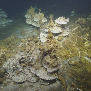
E Mamana Ou Gataifale I - American Samoa
Over the last three years, the Ocean Exploration Cooperative Institute has been advancing the integration of multiple exploration technologies aboard E/V Nautilus, and this year, we bring these new capacities to American Samoa.
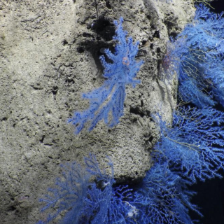
Hawaiʻi - American Samoa Mapping
UPDATE — Ongoing repair to a ship system has changed plans for the expedition, postponing the ROV exploration portion of this expedition within the Jarvis Unit of PRIMNM. The expedition will now evolve into a mapping transit leg to American Samoa.
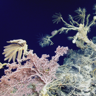
E Mamana Ou Gataifale II - American Samoa
American Samoa is the southernmost U.S. territory, centered in the South Pacific, 2,300 miles southwest of Hawaiʻi, and 1,500 miles northeast of New Zealand. It is home to the cradle of Polynesia’s oldest culture.
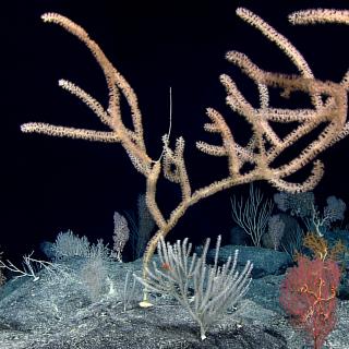
Lebuu's Voyage I - Palau
Palau National Marine Sanctuary (PNMS) –protection secured by Euotelel a Klingil a Debel Belau– is one of the most ambitious conservation efforts on Earth. Despite being rich in natural and cultural resources, there is very little data available from deep ocean habitats protected within PNMS. Working closely with the Palau International Coral Reef Center (PICRC), NOAA Ocean Exploration, and other Palauan and U.S.
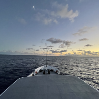
Seafloor Mapping Offshore Howland and Baker Islands
Howland and Baker Islands lie just north of the equator, about 1,800 miles southwest of Hawaiʻi. The islands are low-lying, sandy coral islands ringed by narrow fringing reefs and surrounded by the deep ocean. The US exclusive economic zone around Howland and Baker represents one of the least explored regions under US jurisdiction.
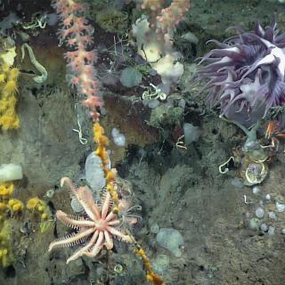
Lebuu's Voyage II - Palau
Building on the progress in the first expedition, this 11-day expedition will continue exploring Palau National Marine Sanctuary (PNMS) to understand seafloor features and the biodiversity that call deep sea habitats around Palau home. Specific cruise objectives will continue to be refined as we work with community and scientific partners.

Mapping and Water Column Exploration Offshore Palau
Following two E/V Nautilus expeditions focused on exploring the deep sea in the Palau National Marine Sanctuary, this 17-day expedition will center on surveying the oceanography and current flow around the Palauan Islands, and how this affects both near and offshore ecosystems, including those within the Palau National Marine Sanctuary.


