STEM Learning Module
Bathymetry: Making Topographic Maps

Credit
Ocean Exploration Trust
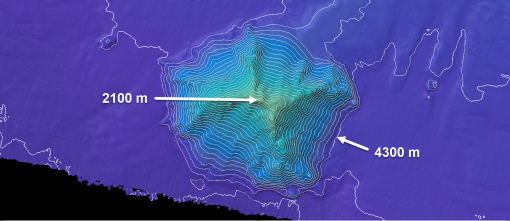
Students will learn how to draw and interpret topographic maps to describe geographical terrains. Using provided contour maps, true profiles of underwater and coastal features can be constructed.
Objectives & learning outcomes
- Students analyze and interpret contour maps describing topography in order to describe their three-dimensional structure.
- Students will also be able to identify the best technology used in authentic research to map these features.
Disciplinary Core Ideas
Find more resources
Resource type
Themes
Topics
Disciplinary Core Ideas
