Honors Students Create and Launch Ocean Drifter from Nautilus
UPDATE: Here's a new map with all four drifters:
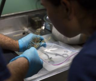
During their month long stay at the University of Rhode Island’s Graduate School of Oceanography, Honors Research Program students were divided into two groups of four; one group was assigned to be part of the Mesoamerican Reef leg and the other group was assigned to be part of the Windward Passage leg.
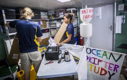
The students were tasked with building 2 drifters per group, based on plans from studentdrifters.org, a program run by NOAA. Students were challenged to add their own modifications to improve upon the design. Both groups modified their buoys to improve air resistance. Each group built two drifters: a surface drifter and an underwater drifter, or drogue. The surface drifters include a buoy, a metal frame, and four sails to help them move through the water. The underwater drifters have a buoy at the surface which is attached to 2 lawn bags — designed to catch the deep water currents — by a 50 foot steel cable. Each drifter has a GPS tracker embedded in the buoy which will periodically report its location through a satellite to studentdrifters.org. This data will then become part of a larger, publicly available data base.

The original plan was to drop two of the drifters at the Mesoamerican Reef, but in two different locations. After receiving a suggestion from NOAA’s Dr. Peter Etnoyer, the students have decided to put their drifters in the water on the full moon, to coincide with a grouper spawning event at Gladden’s Spit, a Marine Protected Area. The objective is that the movement of the drifters will provide information about how currents move the grouper’s eggs, whether that be in the Gulf Stream or in a smaller, more localized gyre. The Windward Passage group will put their drifters in the Caribbean Current, with the hope that they will be transported by the Gulf Stream toward the Atlantic. You can follow the path of the drifters online here. The data updates twice daily.
Related Links:
High School Students Conduct Research with the Corps of Exploration
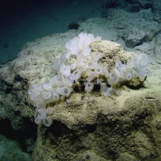
Mesoamerican Reef
The deep waters around and off the coasts of the Belizean cayes and atolls are among the least studied areas of the Caribbean Sea. The 2014 Nautilus cruise to the western Caribbean will conduct seafloor mapping and ROV exploration of the areas around and offshore the cayes and atolls of the Belize Barrier Reef, including potential mud volcanoes off Turneffe and Lighthouse atolls.
